The Point Isabel History Project needs you!
“The Point Isabel History Project: Forgotten Stories of a Familiar Shoreline” invites the community to help fine-tune a history of Point Isabel, Richmond, California.
Many people and events have been part of
Point Isabel’s history.
Help us tell the story.
A draft history of Point Isabel is being released by chapters as they become available. Scroll down to see the ones already posted—and check back frequently for updates!
We welcome your comments, corrections, photos, anecdotes, and perspectives through November. We’ll incorporate as many as possible, may share them on this website, and look forward to including you in the Acknowledgments. (Be sure to share your email address and your name as you’d like it to appear.) The final history will be published online, as a free PDF download, in 2026.
The Point Isabel History Project is partially funded by a grant from East Bay Regional Park District’s Regional Parks Foundation.
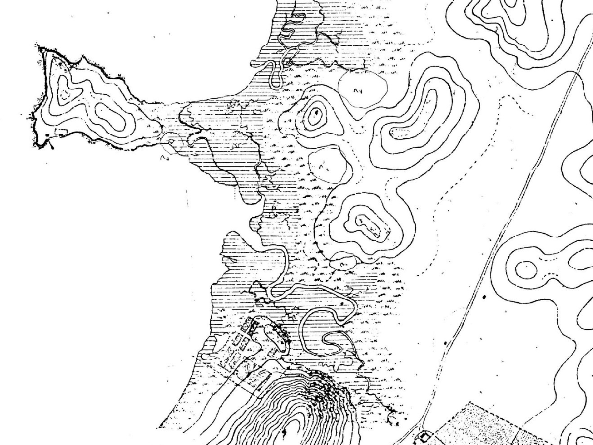
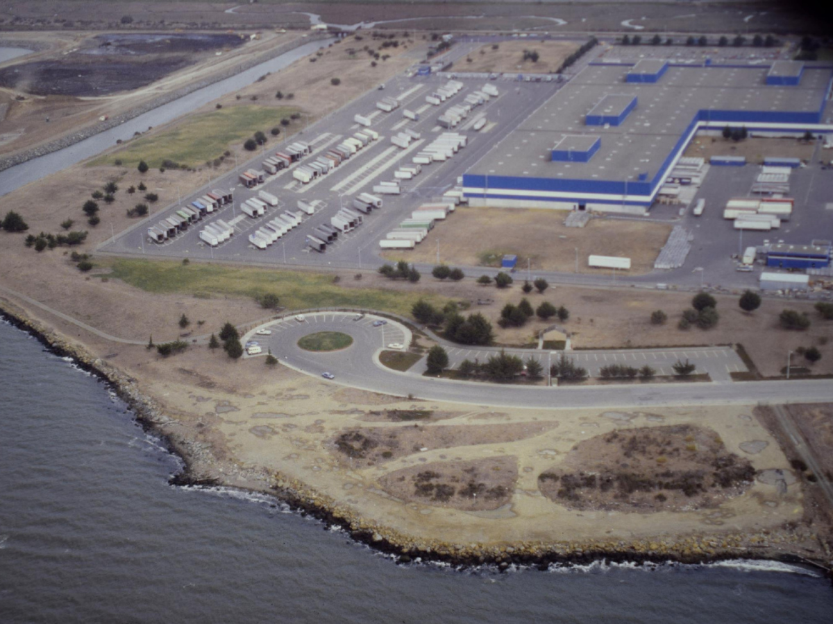
The Point Isabel peninsula has a long, complicated history. It may also be one of the more dramatically altered locations along the East Bay shoreline.
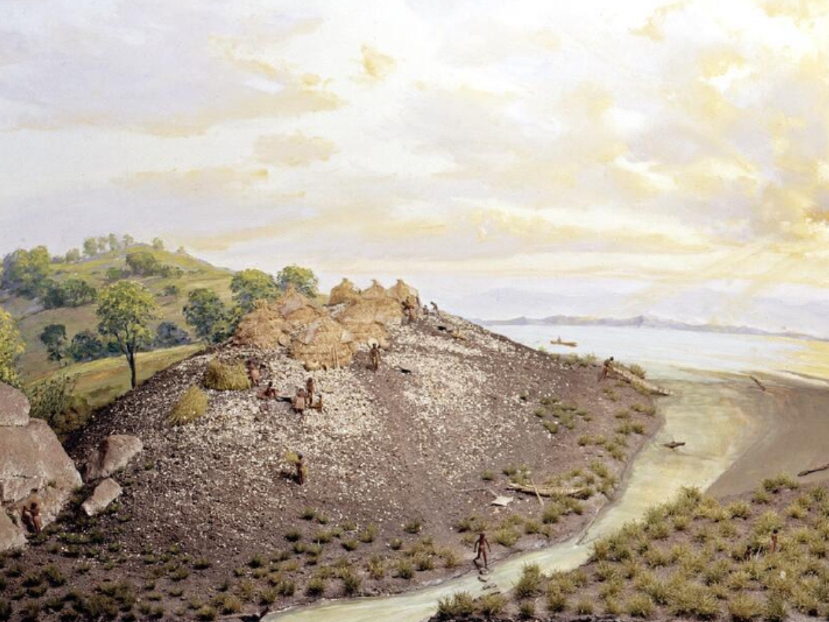
For thousands of years it was a small, rocky hill surrounded by marsh and water and was home to Ohlone people. Over the past 250 years, it has been part of a Spanish (and later Mexican) rancho; a picnic destination for Civil War militias; a 19th Century commercial ferry stop; the site of two notorious bare-knuckles prizefights; a dynamite factory; a recreational shooting club; and an illegal dump site for car batteries (resulting in a massive cleanup of lead and zinc in the mid-1980s). Point Isabel also dodged many bullets along the way. At various times it was proposed as the site for an international airport, harbor, naval base, or 40-story natural gas container.
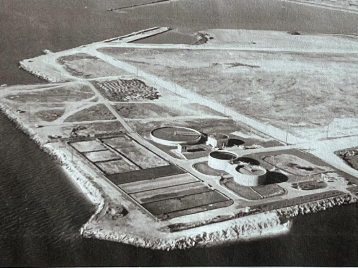
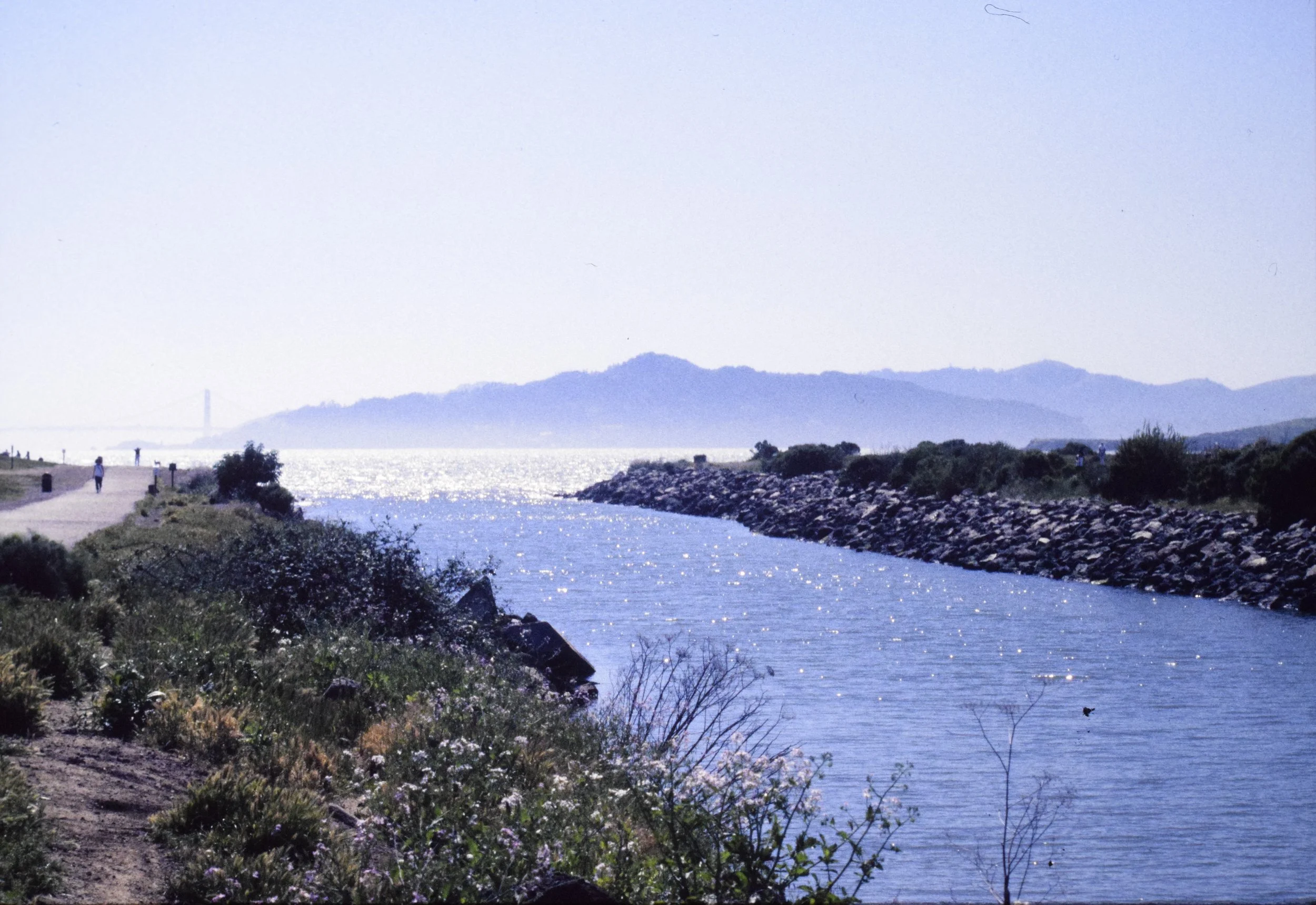
About 15 years after the original Point Isabel was flattened for a sewage treatment plant and industrial park, the landfill began to be painstakingly reclaimed as something more natural. Today the open space and water access delight up to 1.5 million visitors a year; the Hoffman Marsh provides wildlife habitat and a stop for birds on their ancient Pacific Flyway migration path; and the Bay Trail connects people to the growing network of regional and local trails. Point Isabel is also a stop on the Bay Water Trail and a premier destination for windsurfing and other non-motorized watersports.


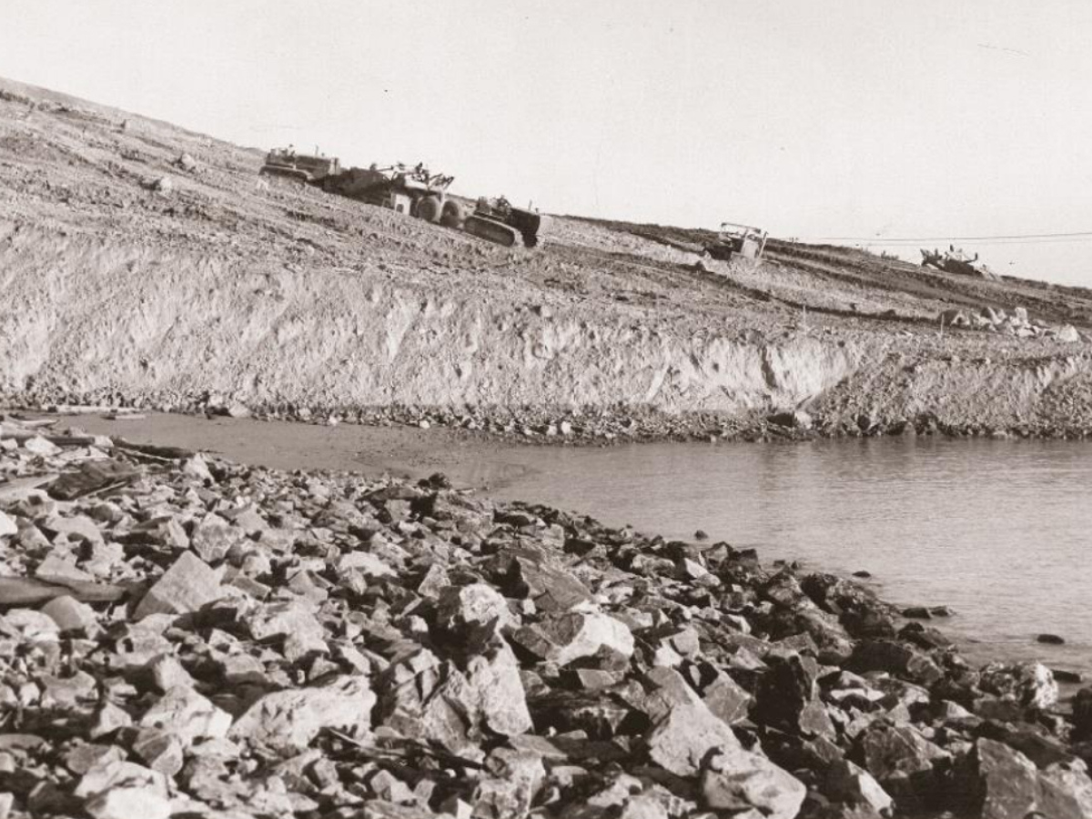
In 1975, East Bay Regional Park District (EBRPD) opened Point Isabel Regional Shoreline, clawing back a half mile of bay-fronting landfill and creating what would become one of EBRPD’s most popular parks. Since then, EBRPD has restored and preserved more than 50 miles of East Bay shoreline. Photo at left, taken around 1975, from EBRPD.
Much of today’s Point Isabel peninsula is industrial fill. Photo of shards deposited by TEPCO crockery company, Dave Weinstein, El Cerrito Historical Society.

Here are specific pieces of the Point Isabel puzzle that we’re looking for. Maybe you have them?
Photos from the San Pablo Avenue Sportsman’s Club, which had two clubhouses and a target shooting range at Point Isabel in the 1940s and 1950s.
Photos of people swimming at the little beaches at Point Isabel before the peninsula was leveled in the 1950s.
Point Isabel Dog Owners’ early newsletters (PIDO News and The PIDO Pointer) or correspondence.
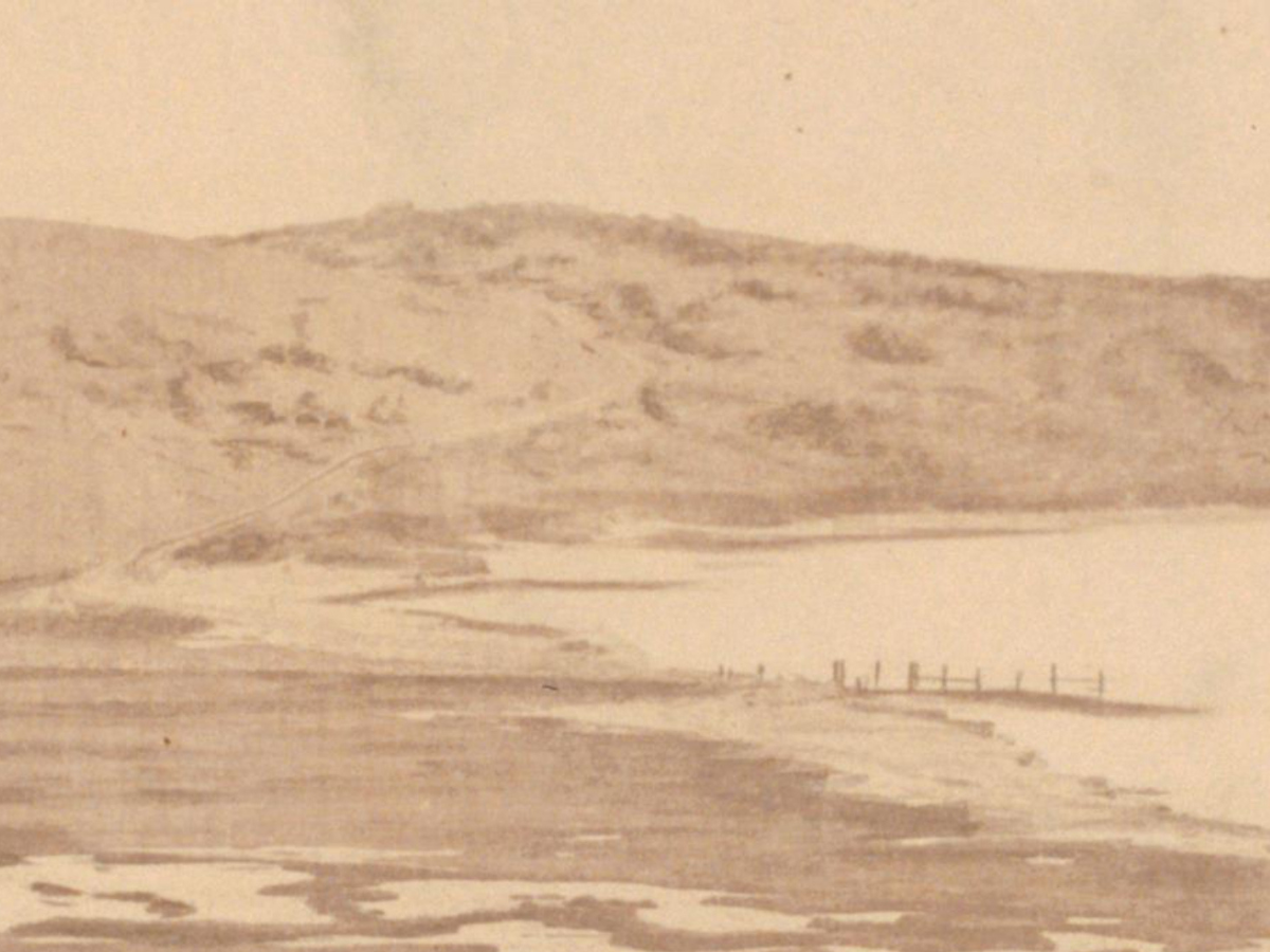
Photos of Point Isabel’s western edge taken before 1951, when that part of the peninsula was flattened to make way for the Stege Sanitary District sewage plant. We’ve read that there was a “yellow sand beach” on the side that faced the bay….
GET IN TOUCH
The Point Isabel History Project draft is being published in chapters. Scroll up to see what’s available today and read content online or download it. Check back frequently! Chapters are being added as we work through permission to use various images, reviews, and addition of accessibility features.
How to reach us, give feedback, or share what you’ve got:
We can also pick up materials from you:
To arrange pickup of photos, documents, or items, or for an address to mail them to, email us or leave us a voicemail. Thank you!
Email: point.isabel.history@gmail.com
Voicemail: 510-684-2091
Photo of the Point Isabel peninsula in 1861 by Carleton Watkins, from roughly where the Richmond Annex neighborhood is today.
Courtesy of Bancroft Library, U.C. Berkeley


